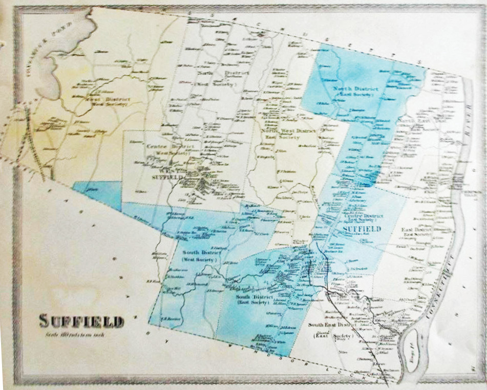
A careful reproduction of the 1869 Baker & Tilden Atlas map of Suffield has been pubished on fine, archival paper for sale by the 350th Committee. The map shows homes, schools, churches and businesses, along with owner’s names (not necessarily the residents). The 11 school districts are shown with various pastel colors.
Of the map’s two printed versions, this one shows the planned route of the Suffield branch line railroad from Windsor Locks, but not quite where it was built the following year.
Sale locations are listed at the right.